TopoStix - Strange Worlds
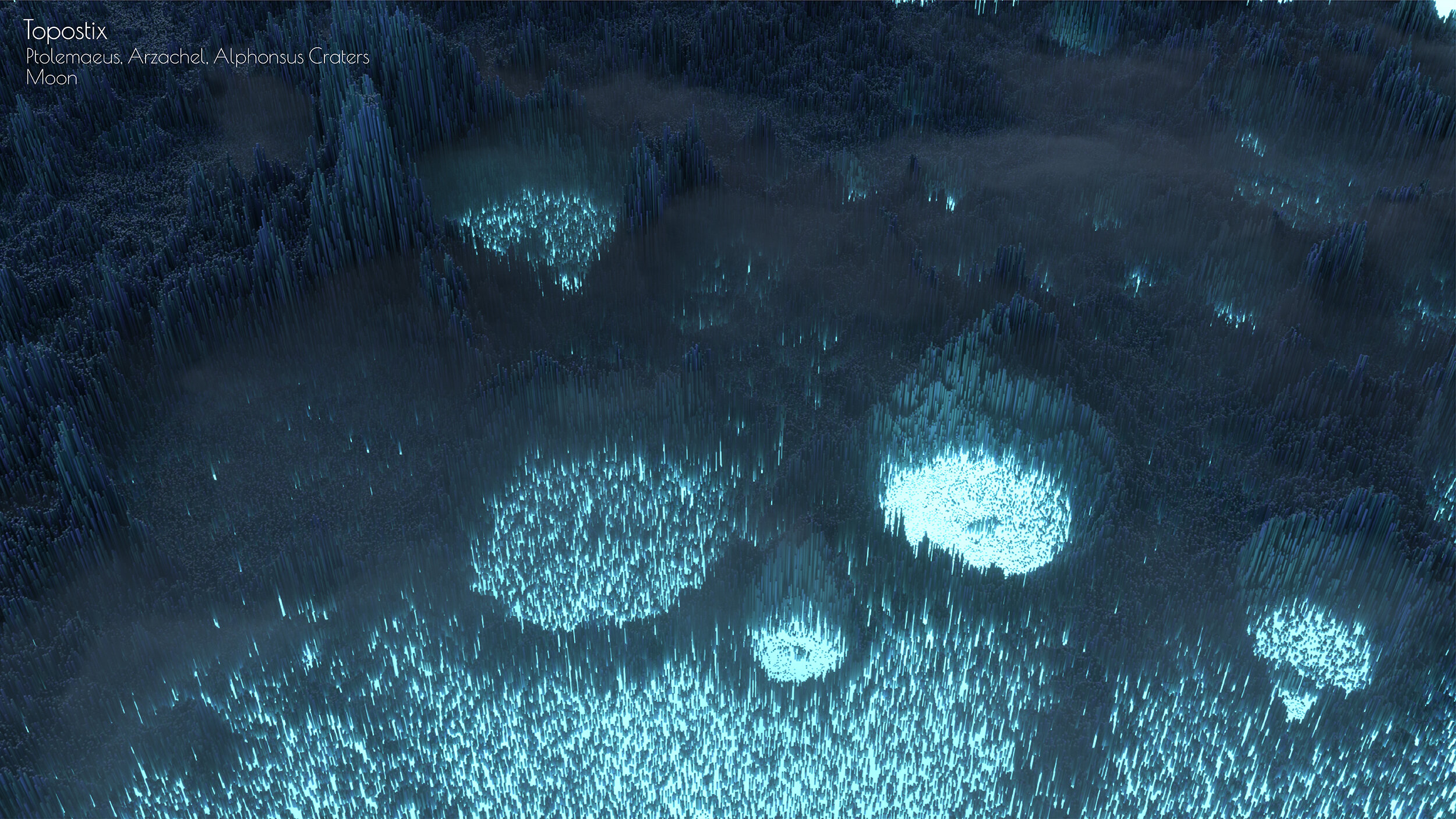
Having recently discovered the wonderful world of Octane I wanted to create a series of visuals based on real-world terrain that utilise the Octane scatter tool. The abstract depictions of terrain showcase some of the wonderful data we have for our world and others.
All images are heavily exaggerated and utilise full artistic licence, I am fairly confident Venus doesn’t glow purple.
Death Valley, Mojave Desert
Data: Global 1-arcsecond (30-m) SRTM


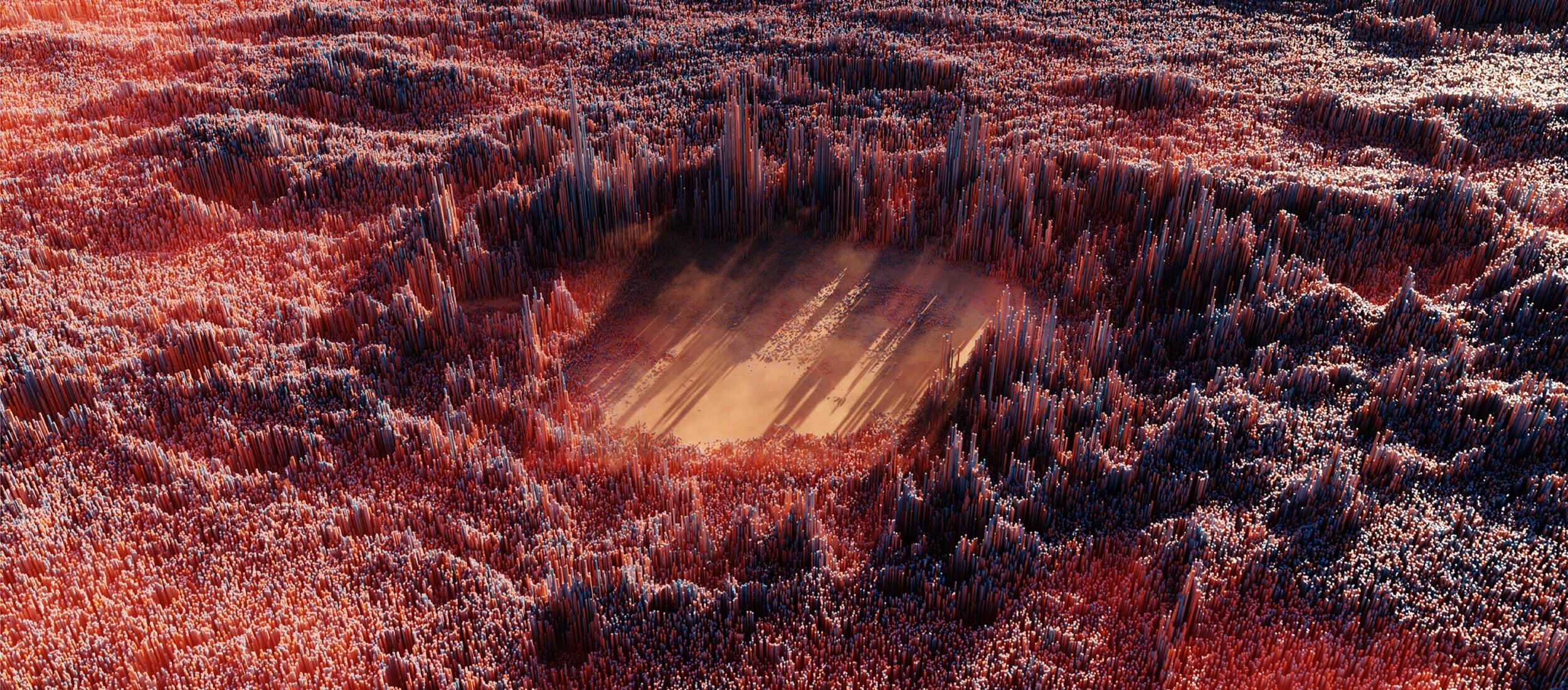
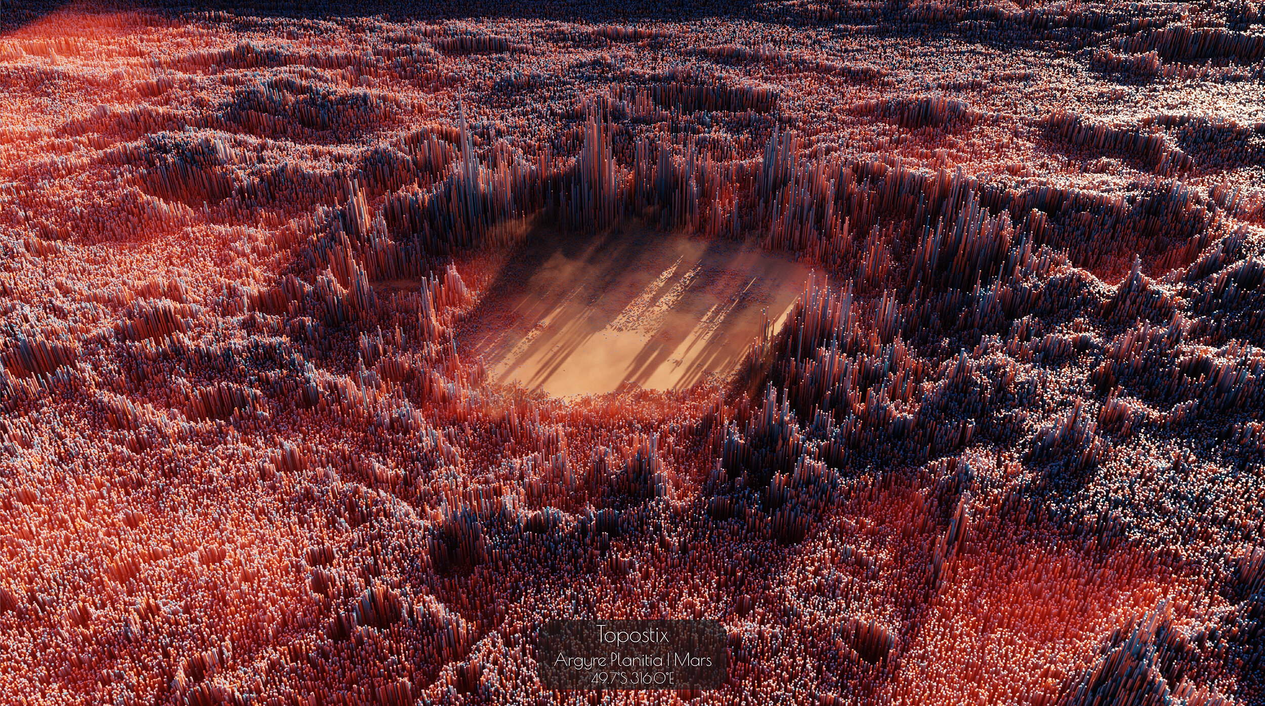
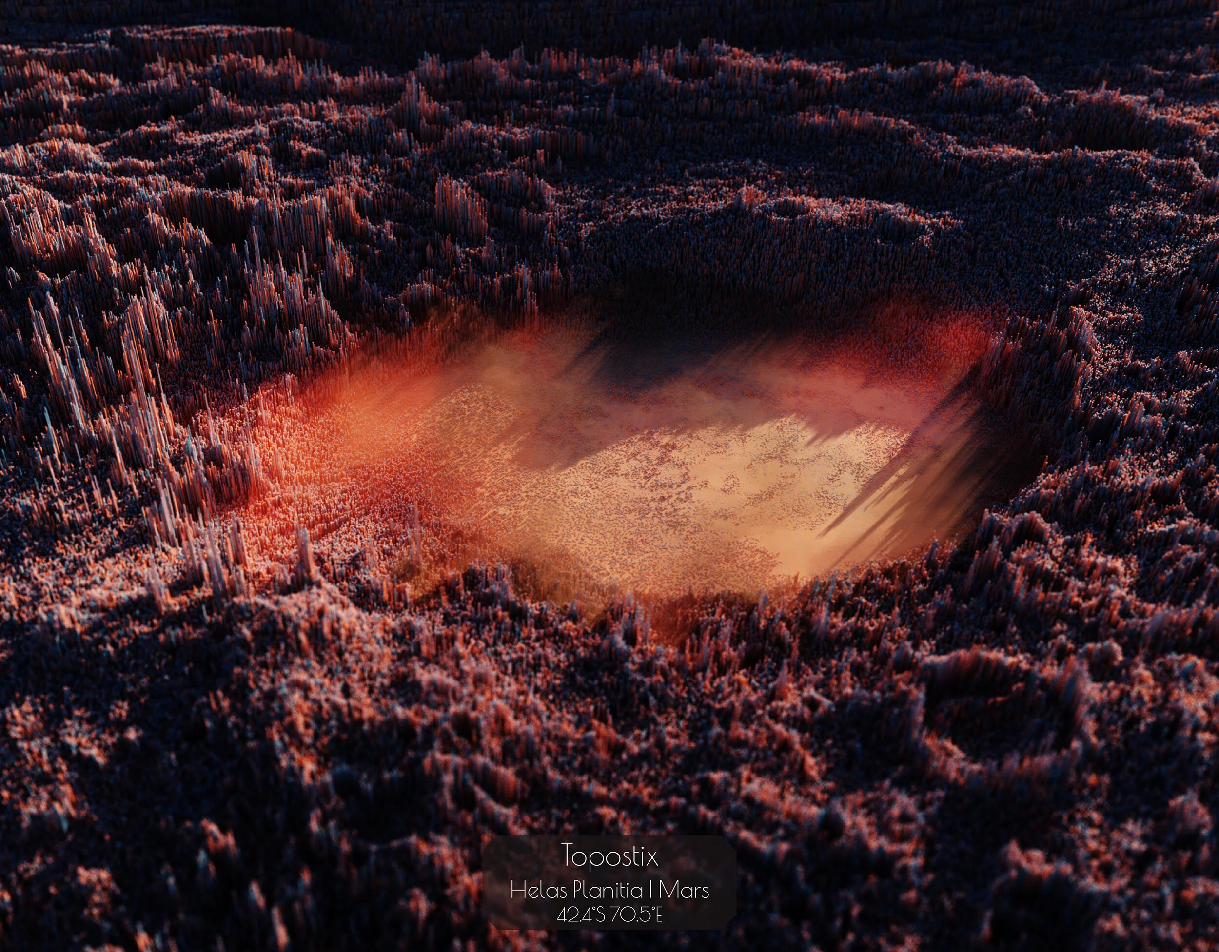
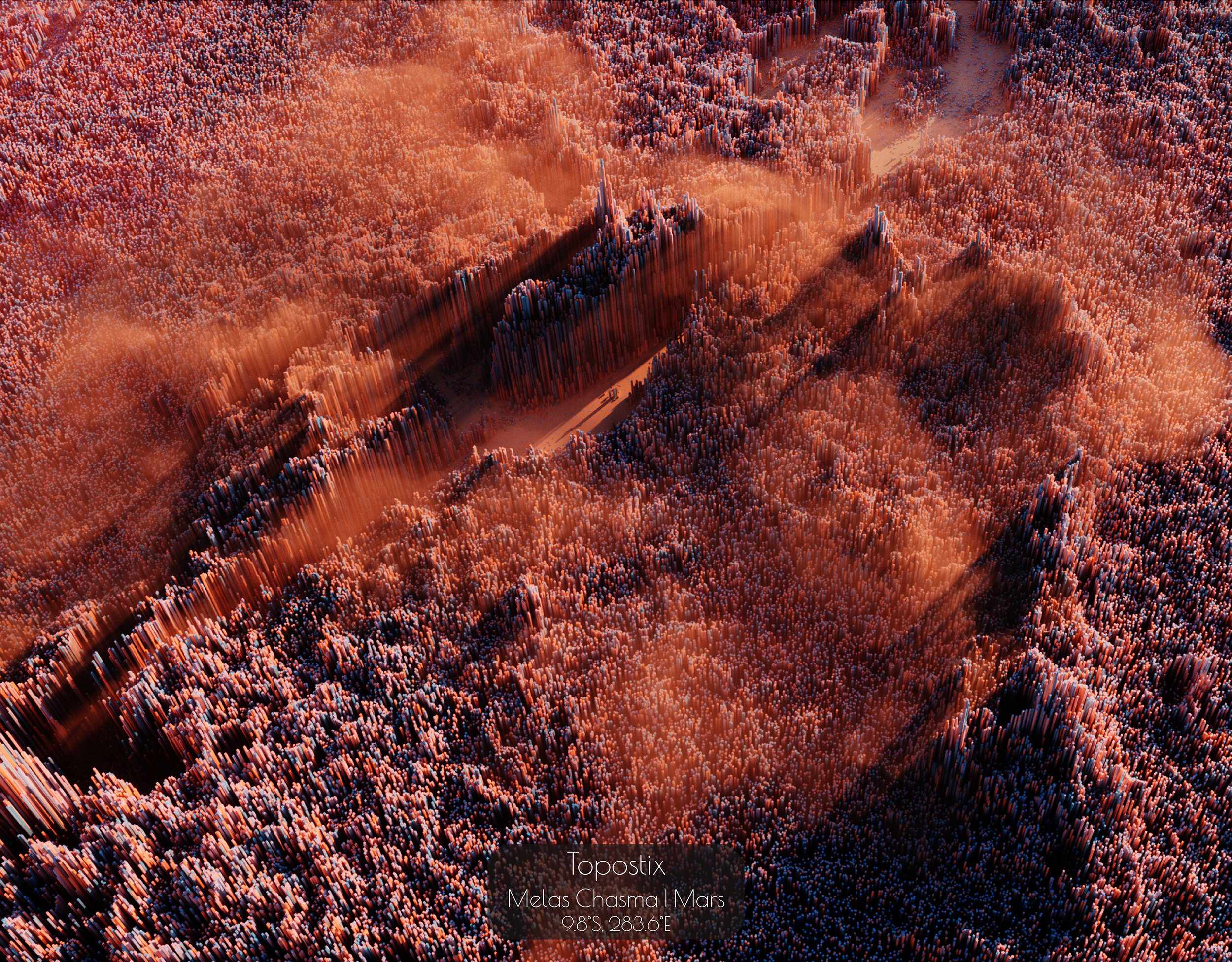
Mars
Data: Mars MGS MOLA Elevation Model 463m (MEGDR) https://astrogeology.usgs.gov

Mercury
Data: https://astrogeology.usgs.gov Mercury MESSENGER Global DEM 665m (64ppd) v2 Oct. 2016

Venus
Data: https://astrogeology.usgs.gov Magellan Global Topography 4641m

Moon
Data: https://astrogeology.usgs.gov LRO LOLA Elevation Model 118m (LDEM GDR)
Mariana Trench, Pacific Ocean
Data: 6 arc-second Bathymetric Digital Elevation Model from the NOAA


Snowdonia National Park, Wales
Data: OS Terrain 50

