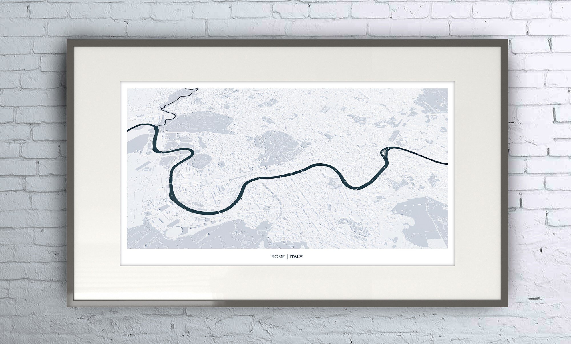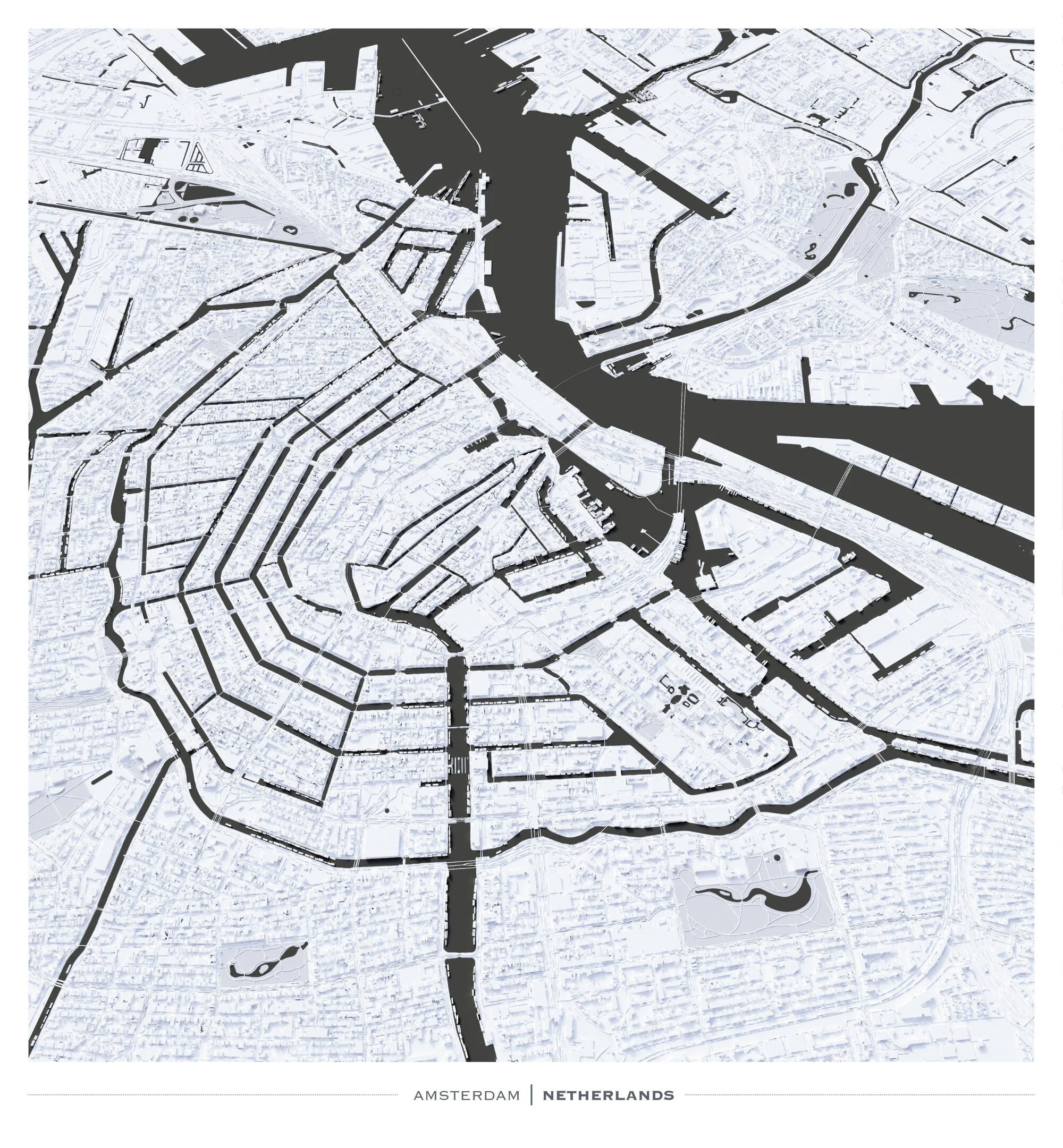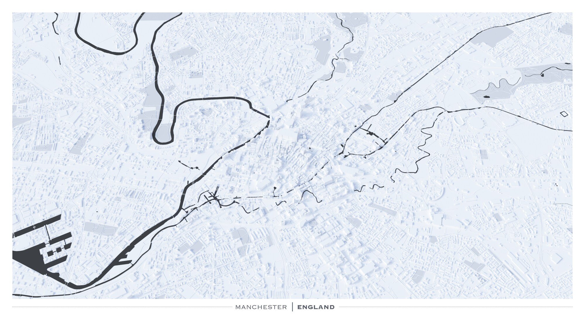
City Modelling I
I really enjoyed modelling up these cities in Blender and this was probably my first map-art project. I just moved house and I wanted some maps for my wall – just simple, clean and subtle models of cities with contrasting rivers/water features and open green space.
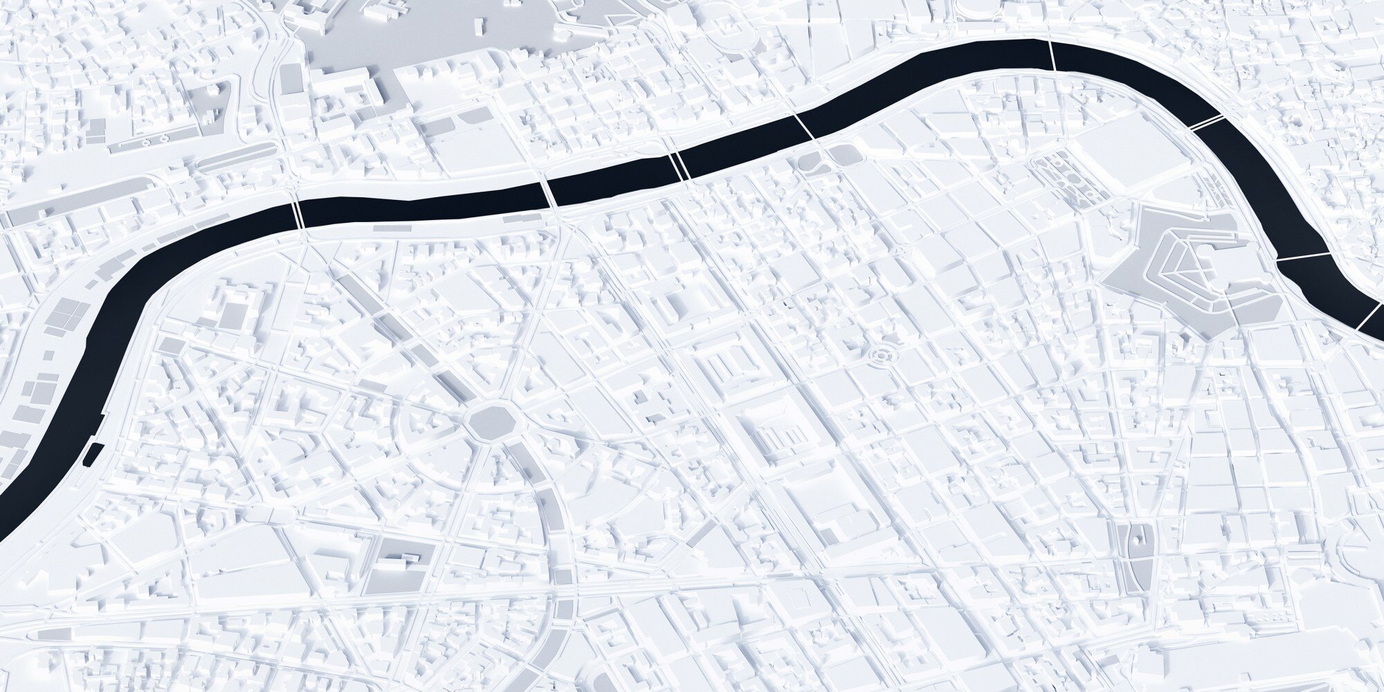
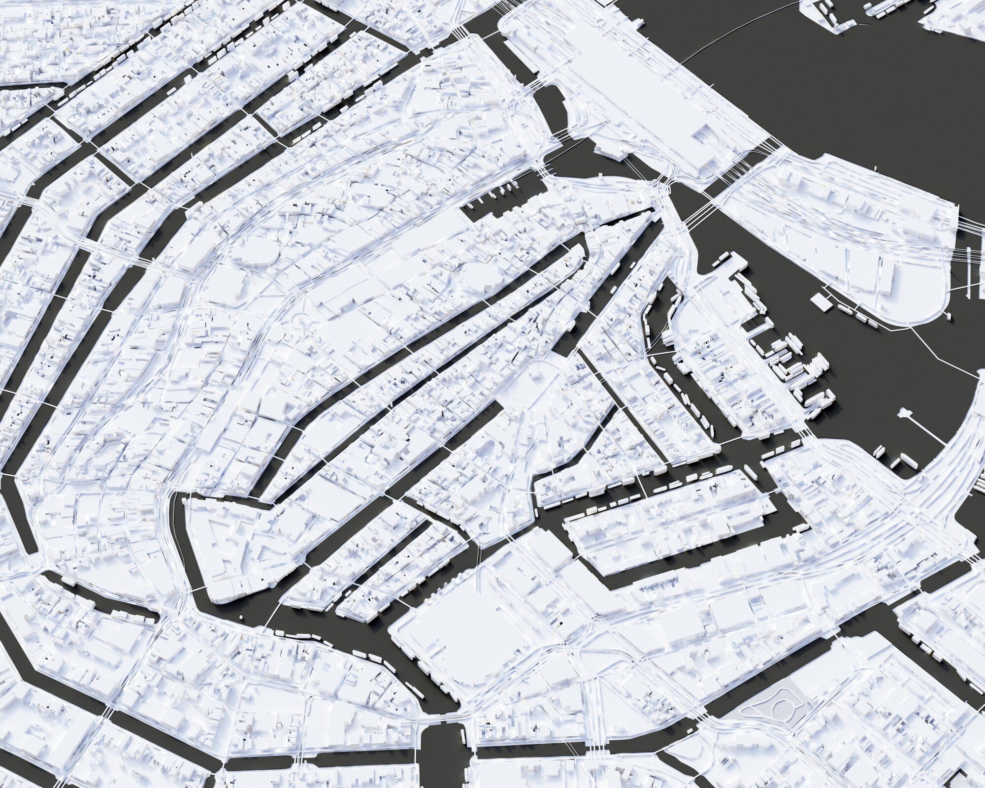
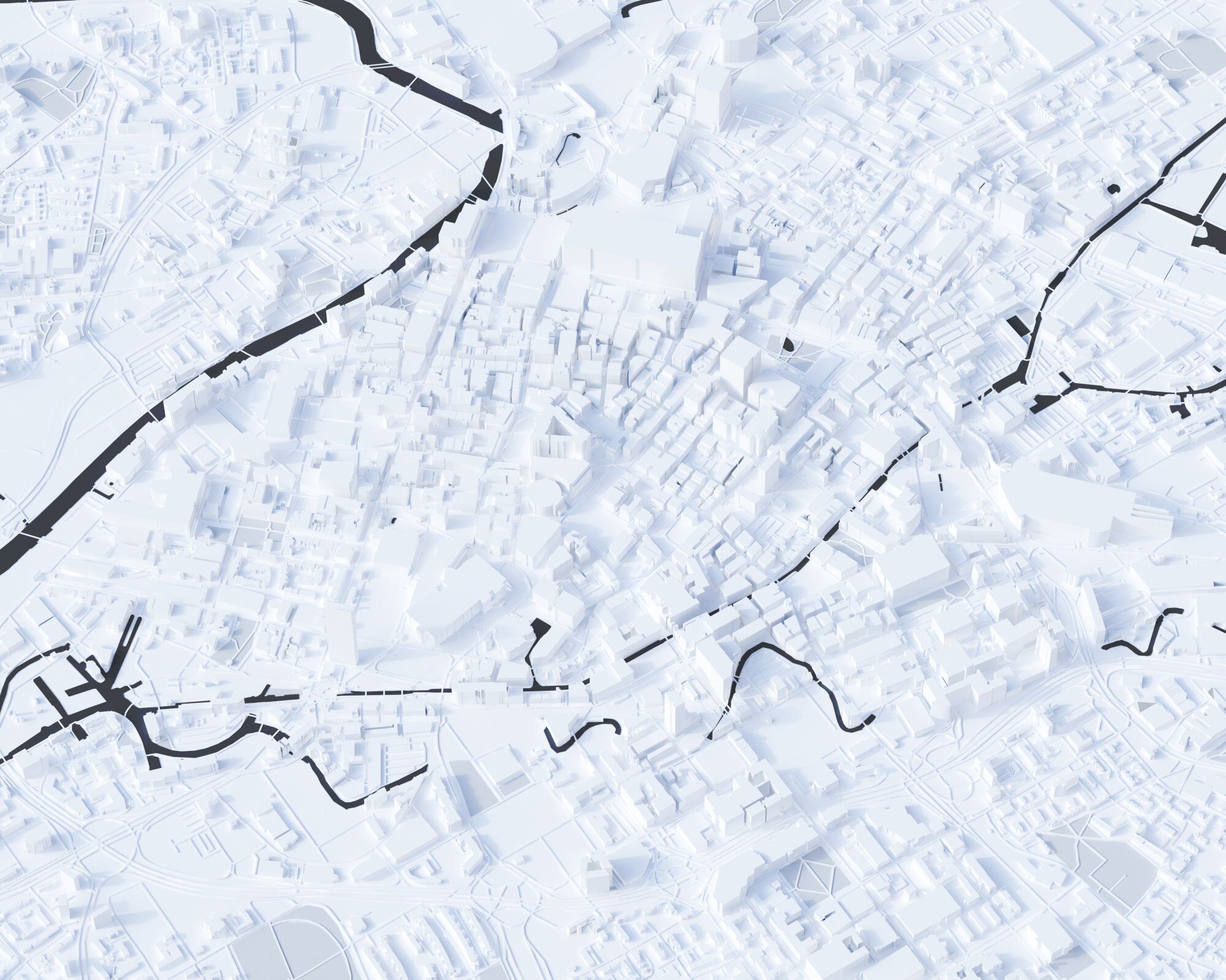
The outputs looked great especially when printed, the detail in the urban form can only really be seen when looking close but I kind of like that about them.
They were all made using open source data, specifically OpenStreetMap and I used a bit of creative licencing over the building heights as OSM doesn’t provide full coverage. Blender has a really great plugin for importing shape files and extruding to a given value in an attribute field. I used the real world values for the buildings OSM has height/building floor levels for, the rest of the buildings were randomised to create texture. Roads were buffered in GIS software and gridded to prevent any closed lines being treated as polygons in Blender.
Importing all the data took a while and had to be cut up as Blender struggles with large polygon counts especially with the height import tool. I’ve since found a few workarounds for importing and randomising heights which cut down the time.
I wanted this project to be completely possible without using proprietary software so everything is open source. QGIS for managing all the spatial data and Blender for modelling and rendering. It’s pretty amazing that this quality of mapping can be rendered without buying software – it’s a testament to the quality of opensource mapping and graphics software.